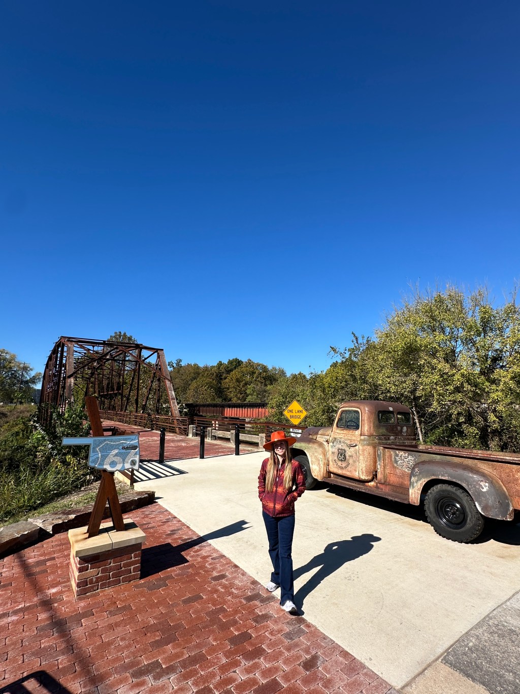
Hey, Friend! Welcome back to another post. Today, I want to show you the historic Rock Creek Bridge in Sapulpa, Oklahoma. Let’s get started!
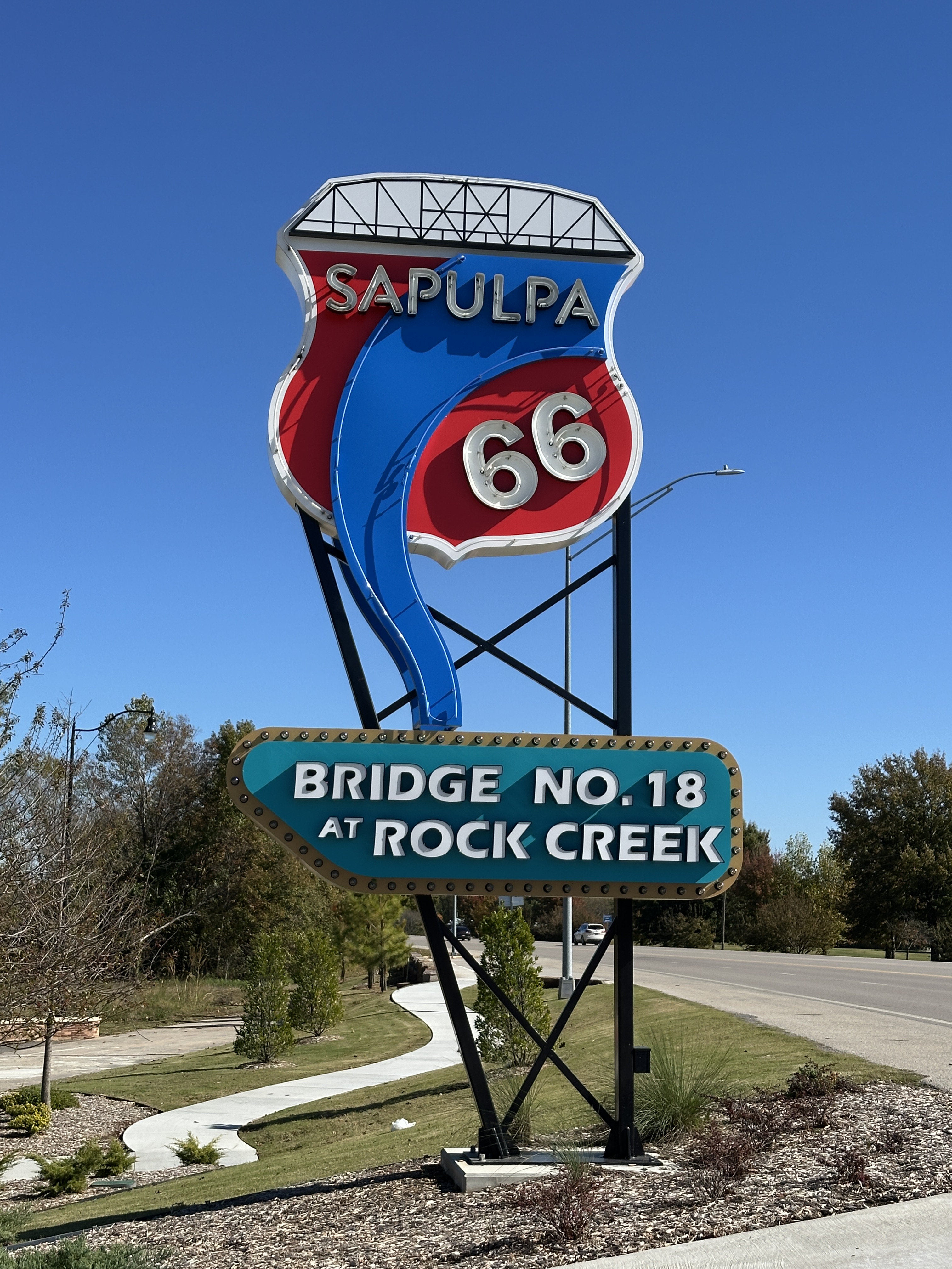
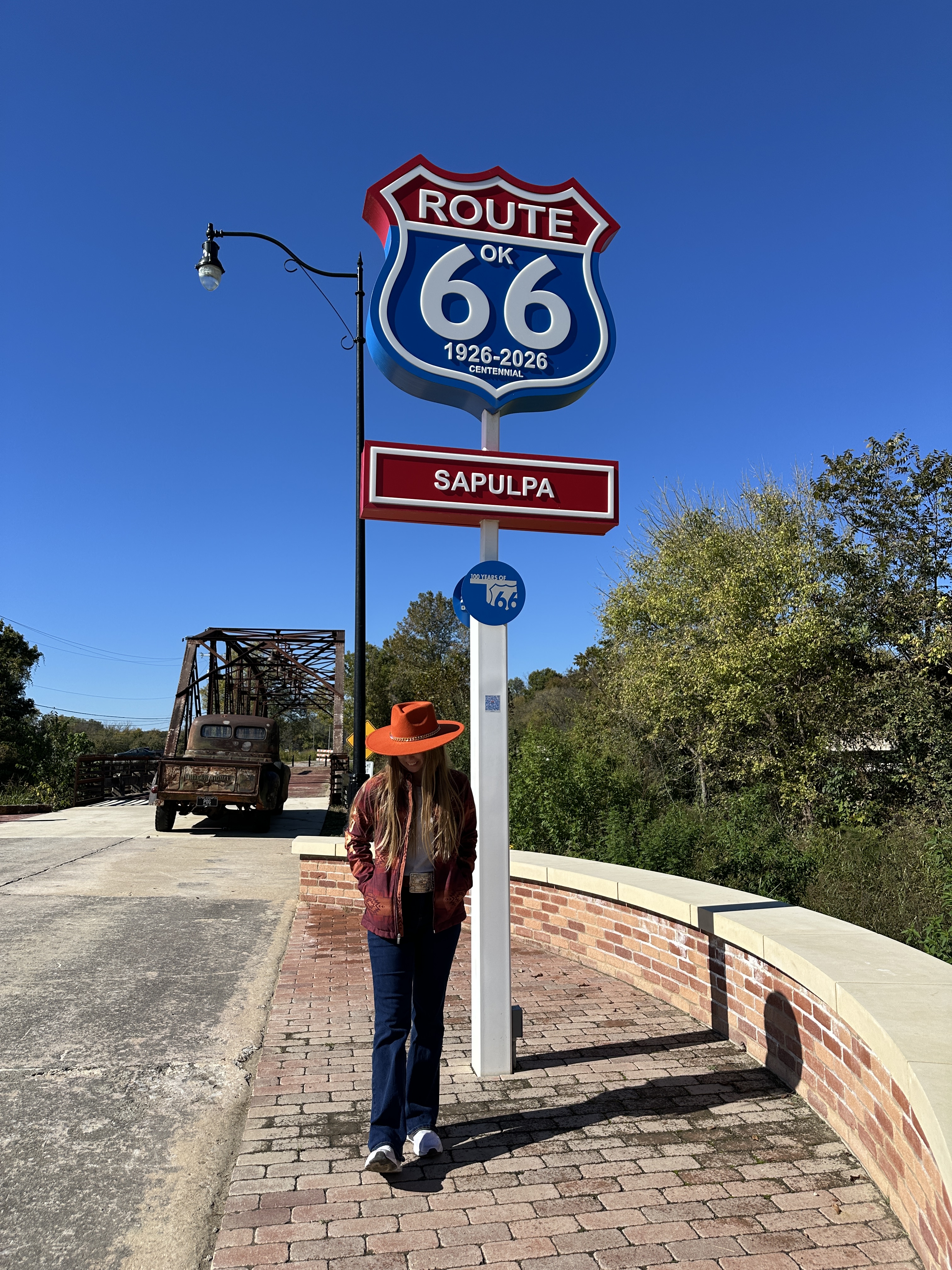
Transcription of the Signs
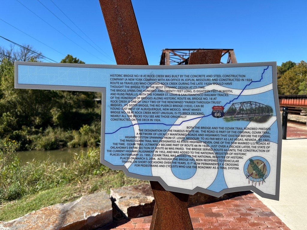
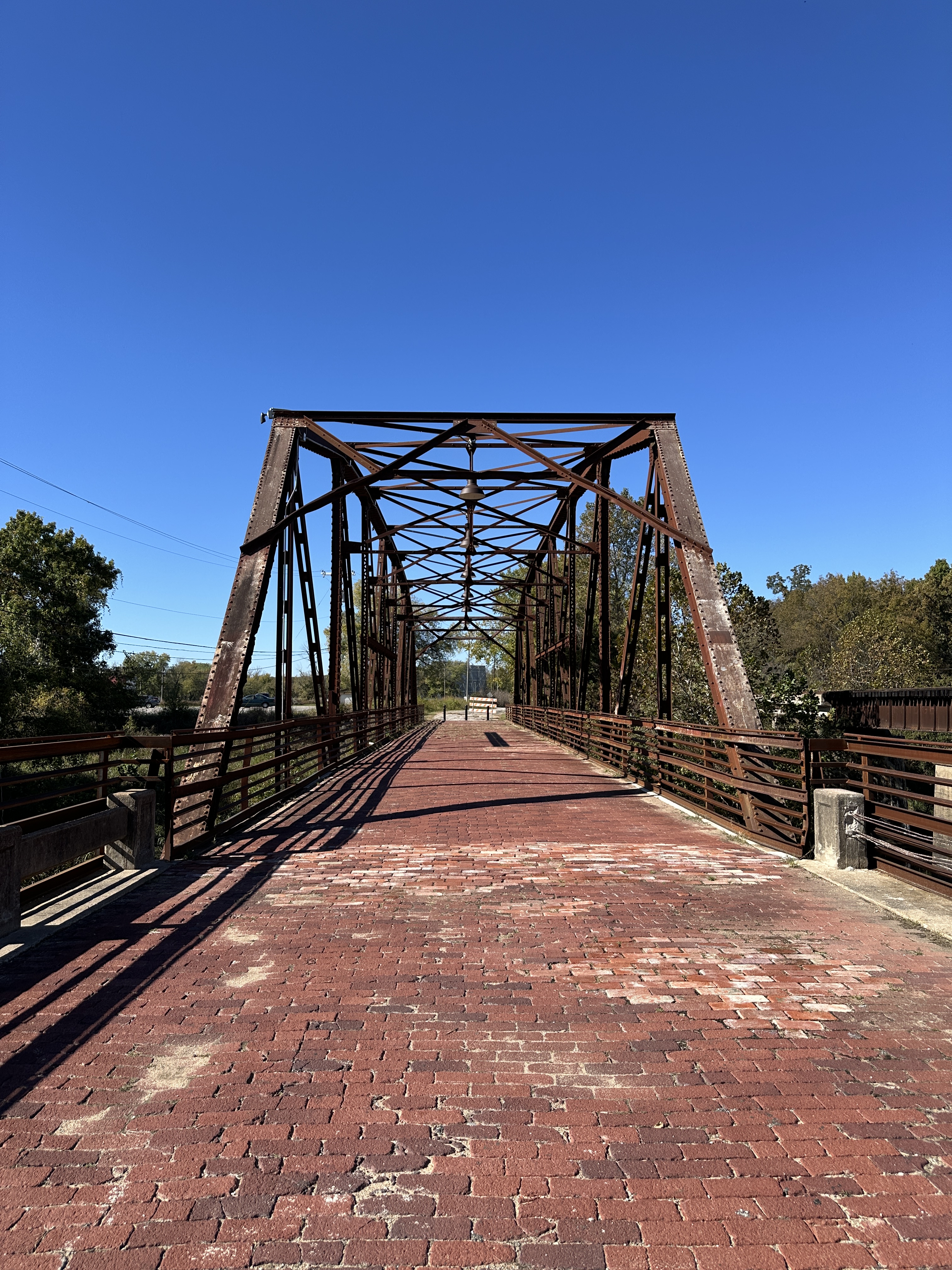
“Historic Bridge No. 18 at Rock Creek was built by the Concrete and Steel Construction Company (A New York Company with an office in Joplin, Missouri) and constructed in 1924. Route 66 travelers who crossed Rock Creek during the 1920s would have thought the bridge to be the most dynamic design at its time. The bridge spans one hundred and twenty feet long, is eighteen feet in width, and runs parallel with the former St. Louis & San Francisco Railway tracks. Of the hundreds of bridges along Route 66, Bridge No. 18 at Rock Creek is one of the only two renowned “Parker Through Truss” bridges. Its sister bridge, the Rio Puerco Bridge (1933), can be found just west of Albuquerque, New Mexico. What makes Bridge No. 18 at Rock Creek most unusual is its brick decking. Nearly all the bricks you see are those originally constrcted on the deck in 1924.
Both the bridge and the Ozark Trail roadbed predate the designation of the famous Route 66. The road is part of the original Ozark Trail, a network of locally maintained roads and highways that existed before the federal highway system spanning from St. Louis, Missouri to as far west as Las Vegas, Nevada. By 1921, the paved Ozark Trail was designated as State Highway Seven, one of the few marked U.S. roads at the time. Ozark Trail ultimately became part of Route 66 in 1926. Just over a decade later, the state of Oklahoma’s entire section of Route 66 was paved. The bridge served Route 66 until the construction of the current highway alignment in 1952, and was added to the National Register of Historic Places on March 3, 2004. Although the bridge has been reopened to vehicular traffic on short occasions over the years, it is now permanently a crossing for pedestrians and cyclists who use the roadway as a trail system.”
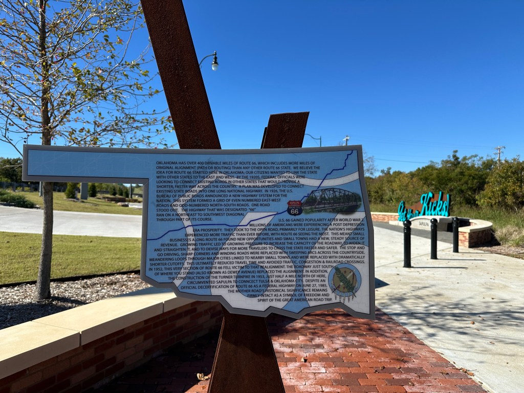
“Oklahoma has over 400 drivable miles of Route 66, which includes more miles of original alignment (path or routing) than any other Rotue 66 state. We believe the idea for Route 66 started here in Oklahoma; our citizens wanted to link the state with other states to the East and West. By the 1920s, federal officials were looking to connect existing roads in other states that would provide a shorter, faster way across the country. A plan was developed to connect existing state roads into one long national highway. In 1926, the U.S. Bureau of Public Roads announced a new highway system for the nation. This system formed a grid of even numbered East-West roads and odd-numbered North-South roads. One road stood out. The highway was designated “66” rand on a Northeast to Southwest diagonal through part of its course.
U.S 66 gained popularity after World War 2. Millions of Americans were experiencing a post depression era prosperity. They took to the open road, primarily for leisure. The nation’s highways experienced more traffic than ever before, with Route 66 seeing the most. This meant small businesses along Route 66 found new opportunities and small towns had a new, steady source of revenue. Growing traffic led to growing pressure to increase the capacity of the roadway, to widen it and straighten it, and to devise ways for more travelers to cross the state faster and safer. The stop and go driving, sharp corners and widening roads were replaced with sweeping arcs across the countryside. Meandering loops through major cities linked to nearby small towns and were replaced with dramatically shorter cutoffs. This ultimately reduced travel time and avoided traffic, congestion & railroad crossings. In 1952, this very section of Route 66 fell victim to that realignment. The roadway just just south of where you stand (also known as Dewey Avenue) replaced the alignment. In addition, the construction of the Turner Turnpike in 1953, just a half a mile north of here, circumvented Sapulpa to connect Tulsa & Oklahoma City. Despite an official decertification of Route 66 as a federal highway on June 27, 1985, the Mother Road’s historical significance remains firmly intact as a symbol of freedom and spirit of the Great American Road Trip.”
Visit
1200 W Dewey Ave (W. Ozark Trail)
Sapulpa, OK 74066
Sources
Historic Markers at the Site.


Leave a Reply